
Book Details
Dorking, Box Hill and Reigate: Sheet 146 (Explorer Maps)
Ordnance Survey
Summary
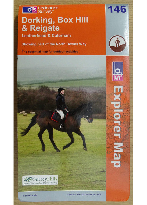
This map is part of the Ordnance Survey's Explorer series designed to replace the old Pathfinder map series.
This map is part of the Ordnance Survey's Explorer series designed to replace the old Pathfinder map series. At 1:25,000 scale this detailed map shows a host of attractions including gardens which are open to the public, nature reserves and country parks as well as all official footpaths, bridleways, roads and lanes. Other facilities covered include: camping and caravan sites, picnic areas and viewpoints, selected places of interest, rights of way information for England and Wales, National Trail and Recreational Path routes, and selected tourist information. The main advantages of this map are the geographical design of the sheetlines to capture the best local coverage, and the coverage of a larger area for value for money. The series is aimed mainly at the experienced map user but can be used by tourists and locals alike.
Perfect for fans of General, Sports, Hobbies & Games, Hiking, Fishing, Birdwatching & Other Outdoor Pursuits, Hiking & Camping, Walking Books.
Highlights
- By Ordnance Survey
Details
- ISBN: 9780319235140
- Author: Ordnance Survey
- Format: Map
- Language: English
- Publication date: 15 May 2003
- Condition: New
Reviews
The series is aimed mainly at the experienced map user but can be used by tourists and locals alike.
Best Sellers
-
 Regular price £71.74Regular priceUnit price per
 -
 Regular price £5.58Regular priceUnit price per
 -
 Regular price £4.60Regular priceUnit price per
 -
 Regular price £43.75Regular priceUnit price per
 -
 Regular price £16.99Regular priceUnit price per
 -
 Regular price £9.99Regular priceUnit price per


- Choosing a selection results in a full page refresh.
- Opens in a new window.