Book Details
Philip's Street Atlas Surrey
George Philip & Son
Summary
An atlas of Surrey, giving comprehensive and detailed coverage of the region.
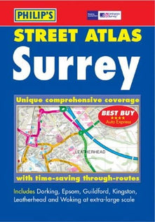
An atlas of Surrey, giving comprehensive and detailed coverage of the region. The mapping is produced by the Ordnance Survey to Philip's specification and gives the user complete coverage of all urban and rural areas. The mapping is at a standard scale of 3.5 inches to one mile and is complete with postcode boundaries. route-planning map and an administrative and postcode map at the front of the atlas. The main maps show every named road, street and lane clearly with through routes highlighted. School locations are marked and emergency services, hospitals, police stations, car parks and rail and bus locations are all featured. There is a comprehensive index of street names and postcodes that includes schools, industrial estates, hospitals, sports centres, etc which are highlighted in colour.
Perfect for fans of Travel Atlases & Maps, Travel & Holiday, Home & Garden Books.
Highlights
- Easy to enjoy: 312 pages · Paperback
- By George Philip & Son
Details
- ISBN: 9780540082902
- Author: George Philip & Son
- Format: Paperback
- Pages: 312
- Language: English
- Publication date: 18 August 2003
- Condition: Used – Like New
- Rating: 0.00
Reviews
Average rating: 0.00/5 · 0 reviews
The mapping is at a standard scale of 3 1/2 inches to 1 mile, 2 1/2 inches to 1 mile in the pocket edition, and is complete with postcode boundaries.The atlas is ideally suited for both business and leisure use.

Best Sellers
-
 Regular price £4.29Regular priceUnit price per
 -
 Regular price £20.65Regular priceUnit price per
 -
 Regular price £3.80Regular priceUnit price per
 -
 Regular price £10.98Regular priceUnit price per
 -
 Regular price £7.87Regular priceUnit price per
 -
 Regular price £11.24Regular priceUnit price per


- Choosing a selection results in a full page refresh.
- Opens in a new window.