
Book Details
Britain (AA Glovebox Atlas S.)
A.A. Publishing
Summary
This A4 format atlas provides giant scale mapping and type throughout making it very easy to use.
This A4 format atlas provides giant scale mapping and type throughout making it very easy to use. Each page has been titled with its geographical location so you can turn to the page you need more easily. Static speed camera locations with speed limits are pinpointed and mobile camera sites are listed. Wide minor roads, National Trust, English and World Heritage sites, crematorium and other hard-to-fi nd places are also shown. There is also a full-colour admin map showing all the latest unitary authority areas, route- planning map and journey planning section.
Highlights
- Easy to enjoy: 95 pages · Paperback
- By A.A. Publishing
Details
- ISBN: 9780749538941
- Author: A.A. Publishing
- Format: Paperback
- Pages: 95
- Language: English
- Publication date: 1 October 2003
- Condition: New
- Rating: 0.00
Reviews
Average rating: 0.00/5 · 0 reviews
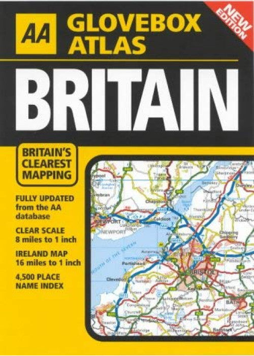
Covering the whole of Britain and Ireland, this atlas shows toll points, A and B roads, primary routes and motorways. The title also has a comprehensive index with 4500 place names.
Best Sellers
-
 Regular price £71.74Regular priceUnit price per
 -
 Regular price £5.58Regular priceUnit price per
 -
 Regular price £43.75Regular priceUnit price per
 -
 Regular price £16.99Regular priceUnit price per
 -
 Regular price £9.99Regular priceUnit price per
 -
 Regular price £3.90Regular priceUnit price per


- Choosing a selection results in a full page refresh.
- Opens in a new window.